Insight: REIBC blog > What Happens When the Data Is Wrong?
 |
credit: Prasit Rodphan (iStock)
|
We rely on data for all manner of land use and development decisions. But how are we keeping landowner data anonymous, who are we allowing access, what can happen if data is inaccurate, and who is at fault if damage occurs?
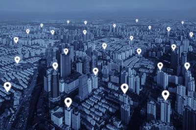
Geographic information systems (GIS) are commonly used to collect and report data related to land use and geography, matching maps with other types of information, such as demographics, environmental characteristics, and property ownership. We’ve come to rely on GIS for everything from neighbourhood planning and infrastructure maintenance to species conservation and natural resource management.
Unfortunately, not all data is equal. Data is collected at differing scales and levels of accuracy, which make it difficult to combine or layer such data spatially without unintended consequences. “Given the multiple data sources available and differing standards between data producers, errors can be made not only in the data itself but also in the way that various data sets are merged…[and] data providers can be held liable if the information they distribute leads to damage or loss,” explains Ask a Lawyer columnist John McLachlan. “The development and uses of GIS have rapidly expanded and with that expansion myriad issues have arisen…issues of privacy and access as well as accuracy and liability.”
 |
| Download Summer 2017 |
Read more about these issues with data and data supply in “Ask a Lawyer” in the Summer 2017 issue of Input, page 17. Download Summer 2017
Join the conversation on Facebook