Insight: REIBC blog > OCP as Regional District Tool
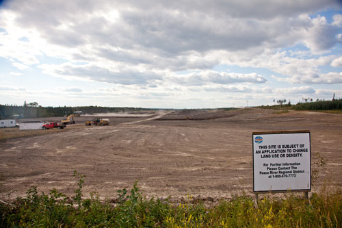 |
Future site of a light-industrial subdivision, Peace River Regional District. (Credit: Studio TGP Inc and Peace River Regional District)
|
Beyond municipal boundaries, regional districts are the local government authorities that administer land use regulations on private land. They must coordinate community interests with land use and development patterns in areas that are often rural in character and have little infrastructure.
The official community plan, or OCP, is the primary tool used by a regional district. OCPs identify land use areas such as residential, commercial, industrial, and agricultural. It is the OCP that identifies present and future community needs, providing the framework for land use and development decisions to made in coming years.
Though simple in concept, the creation and administration of OCPs requires careful consideration and coordination of many factors. Nearby municipalities influence the allocation of land uses in rural areas. Superseding legislation, such as the Agricultural Land Reserve, must be accounted for. Provincial ministries set standards and regulate uses for roads and resource-extraction industries. And all of this must be balanced with public feedback.
 |
| Download Spring 2015 |
Jodi MacLean, the Peace River Regional District’s assistant manager of development services, writes about the land use planning process in the Spring 2015 issue of Input, page 8.
More information about the Peace River Regional District
Join the conversation on Facebook