Insight: REIBC blog > Taking Steps Now to Minimize Flood Damage
 |
BCREA’s workshop on floodplain mapping, held in 2013. credit: BCREA
|
“If the basis for decision making is unreliable, then the ability of decision makers to effectively manage flood risks is limited,” writes Norma Miller, manager of government relations at the British Columbia Real Estate Association. BCREA and many other stakeholders are concerned about the state of floodplain maps in BC, which are typically outdated or inaccessible (or non-existent).
In 2011, BCREA adopted the position that existing floodplain maps in BC needed to be updated to provide communities with accurate information on which to base decisions about growth and safety.
British Columbians are regularly confronted with the effects of extreme weather, including flooding, which poses catastrophic risks to BC’s economic vitality, infrastructure, environment, safety, property owners and communities. This problem is expected to be made worse by climate change, and flooding does not respect jurisdictional boundaries. Unfortunately, in a recent BCREA survey, more than 50% of local-government respondents indicated floodplain maps were a low priority for their organizations; those that rank it high have likely experienced a recent flood event.
 |
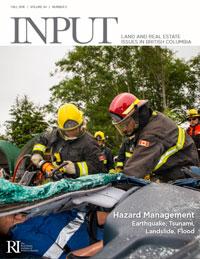
| Download Fall 2016 |
Though neither BCREA staff nor REALTORS® are subject matter experts on this issue, BCREA’s involvement has helped energize the discussion. BCREA also plays ongoing roles in communicating progress by and to a variety of stakeholders and in advocating for action by all levels of government. Read more about BCREA’s work in Miller’s article, “Start With Floodplain Maps,” in the Fall 2016 issue of Input, page 7.
More information about BCREA’s BC Floodplain Map Inventory Report
Join the conversation on Facebook
